I went to a party yesterday at the very south end of Seattle, near Lake Washington. I thought I could find it without getting on the freeway, but the truth is, I still don’t know my way around the south end and have no picture of how West Seattle connects to places like Seward Park and Rainier Beach.
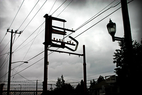
This photo was taken near the drawbridge in South Park, a place I’ve been lost before. I keep meaning to go back to this area for Mexican food, but I’m only ever there when I’m lost.
[tags]Seattle, South Park, lost[/tags]


If you didn’t figure this out along the way, the easiest way to get to South Park and beyond is to go east to Delridge, head south, turn left at the 5-corner intersection with Roxbury, head down toward 509, and over 509, at which point you are in South Park. Regarding connecting to Seward Park, etc., there’s really no easy way aside from taking the WS Bridge directly east and onto Beacon Hill, where you just keep heading east and eventually hit Lake Washington. We go through this every year for the Blue Angels and Seafair — either through South Park to get to the Museum of Flight, or onto Beacon Hill to get to Genesee Park to watch the hydros and airshow on the one free day. But it’s fun to keep discovering parts of the area even after months and years go by.